1
/
of
1
Cambridge University Press
Spatial Models of Parliamentary Voting
Spatial Models of Parliamentary Voting
Regular price
$198.87 USD
Regular price
Sale price
$198.87 USD
Shipping calculated at checkout.
Quantity
Couldn't load pickup availability
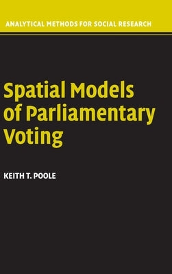
This book presents a geometric voting model for analyzing parliamentary roll call data. Each legislator is represented by one point and each roll call is represented by two points that correspond to the policy consequences of voting Yea or Nay. On every roll call each legislator votes for the closer outcome point, at least probabilistically. These points form a spatial map that summarizes the roll calls. In this sense a spatial map is much like a road map because it visually depicts the political world of a legislature. These maps can be used to study a wide variety of topics related to legislative voting.
Author: Keith T. Poole
Publisher: Cambridge University Press
Published: 04/11/2005
Pages: 248
Binding Type: Hardcover
Weight: 0.95lbs
Size: 9.10h x 6.10w x 0.80d
ISBN: 9780521851947
Author: Keith T. Poole
Publisher: Cambridge University Press
Published: 04/11/2005
Pages: 248
Binding Type: Hardcover
Weight: 0.95lbs
Size: 9.10h x 6.10w x 0.80d
ISBN: 9780521851947
About the Author
Poole, Keith T.: - Keith T. Poole is a Professor of Political Science at the University of California, San Diego. He is the author or coauthor of over 40 articles as well as the coauthor of Congress: A Political-Economic History of Roll Call Voting and Income Redistribution and the Realignment of American Politics.
Share